This past Thursday, I was able to get out with a couple other area rocketeers to conduct a Fall launch session at Dove Valley Regional Park.
One of my flights consisted of a Quest Big Rage equipped with an 808 keychain camera and a FlightSketch Mini altimeter.
I spent a good amount of time this morning with the process of pulling interesting still frames out of the resulting video, and downloading the FlightSketch flight profiles. My aim here is to be able to match the video frames with the corresponding profile altitude and velocity figures.
Here is the Big Rage pre-flight:
At ignition, the model boosted nicely, arced over and descended a bit before the ejection charge fired.
Unfortunately, the parachutes did not eject, so the model free-fell in 'break-apart' recovery mode. Neither the model or any of the payload components sustained any damage. I had hoped that everything would work correctly because I had the booster and payload on separate parachutes, with the latter rigged so that it would hold the camera at a 45 degree angle during descent. Another test of this system will have to wait for another day.
Here are the flight profile charts and data as recorded by the FlightSketch Mini:
And the video stills:
2 second mark - A shot of the launch area during boost. Altitude was approximately 150 feet at a velocity of 114 fps. Observing the flight is Lee Reep.
5 seconds - This frame occurred just prior to the model reaching apogee. Approximately 308 feet, 10 fps. The altimeter says apogee occurred at 05.42 seconds into the flight..
The next seven frames all occur within the 6 to 7 second time frame, just after apogee. All show a sequence of the camera pointing at the nearer ground details and then to the horizon. Altitudes from 304 to 270 feet. Got a few front range mountains in there!
7 second mark. This is the last frame which showed the Big Rage's fin in the camera field, indicating the split second before the motor ejection charge fired:
Now for a wild ride! The remaining frames were random shots of features being captured on camera with the model careening and spinning toward Terra Firma.
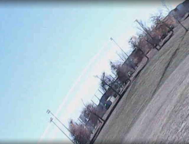
8 seconds - A swiftly moving horizon shot. 240 feet:
9 seconds. OK, I don't believe in UFOs, but this frame is interesting. Most likely, it's a random glitch or reflective phenomenon from the camera lens. 166 feet:
10 seconds. Another fast horizon exposure from 144 feet up:
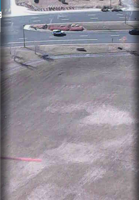
12 seconds. Two shots of the parking lot at the south end of Dove Valley Park. Interestingly, this was the very lot in which all of today's launch participants were parked. Very cool that this showed up in the flight video. Altitudes 75 and 65 feet:
14 seconds. This frame shows the surrounding field just before 'crash-down'. Altitude: 10 feet:
This was certainly a fun exercise. Nice marriage of video cam and altimeter.
One final note: A full report of the entire November 4th launch session will be the subject of another blog post. It'll take me a couple of days to get all the pics and text put together.
Stay tuned !


Excellent report! Love the stills from the video and I can certainly sympathize with the amount of time it takes to break down and edit the final product. My original cameras still exist, but to call them "battle scarred" would be generous. I bought a couple of new ones last winter, but I haven't been able to get the tiny card to stay in the tiny slot. Might have to bring out the monkey wrench.
ReplyDeleteHi, Bill,
DeleteFlying this tandem was a lot of fun. I have another model on the workbench that features a 24mm motor booster stage. Also have designs on building a cam carrying boost/glider.
Hope to have both models ready for the 2022 flying season.